Full-stack, Data Science & AI
Celica Digital Twin
3D digital twin of the Celica canton (Loja, Ecuador): outline an area on the map and explore it in three dimensions with a street-level walking mode.

Description
A 3D visualization web app that generates a digital twin of the Celica canton, in Loja province, Ecuador. It lets users outline an area on an interactive map and explore it as a navigable three-dimensional model, with a street-level walkthrough mode and local caching of the model to speed up later loads.
Challenge
Provide an accessible way to explore the territory of the Celica canton in three dimensions, without relying on specialized modeling or GIS software.
Solution
Generation of a navigable 3D model from a map area, with a street-level walkthrough and local caching of the model so later visits load almost instantly.
Results
Smooth 3D exploration of the Celica canton accessible from the browser, with fast loading after the first visit thanks to local model caching.
Related projects
Full-stack
Telefunke
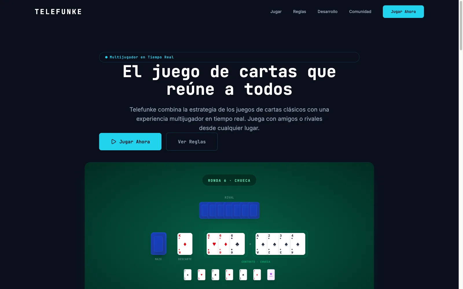
Real-time Latin American card game: 2-6 players over WebSockets, AI bots, and P2P video chat.
- Next.js
- AI / MCP
- WebSockets
- +1
Full-stack, Data Science & AI
BiblioDash
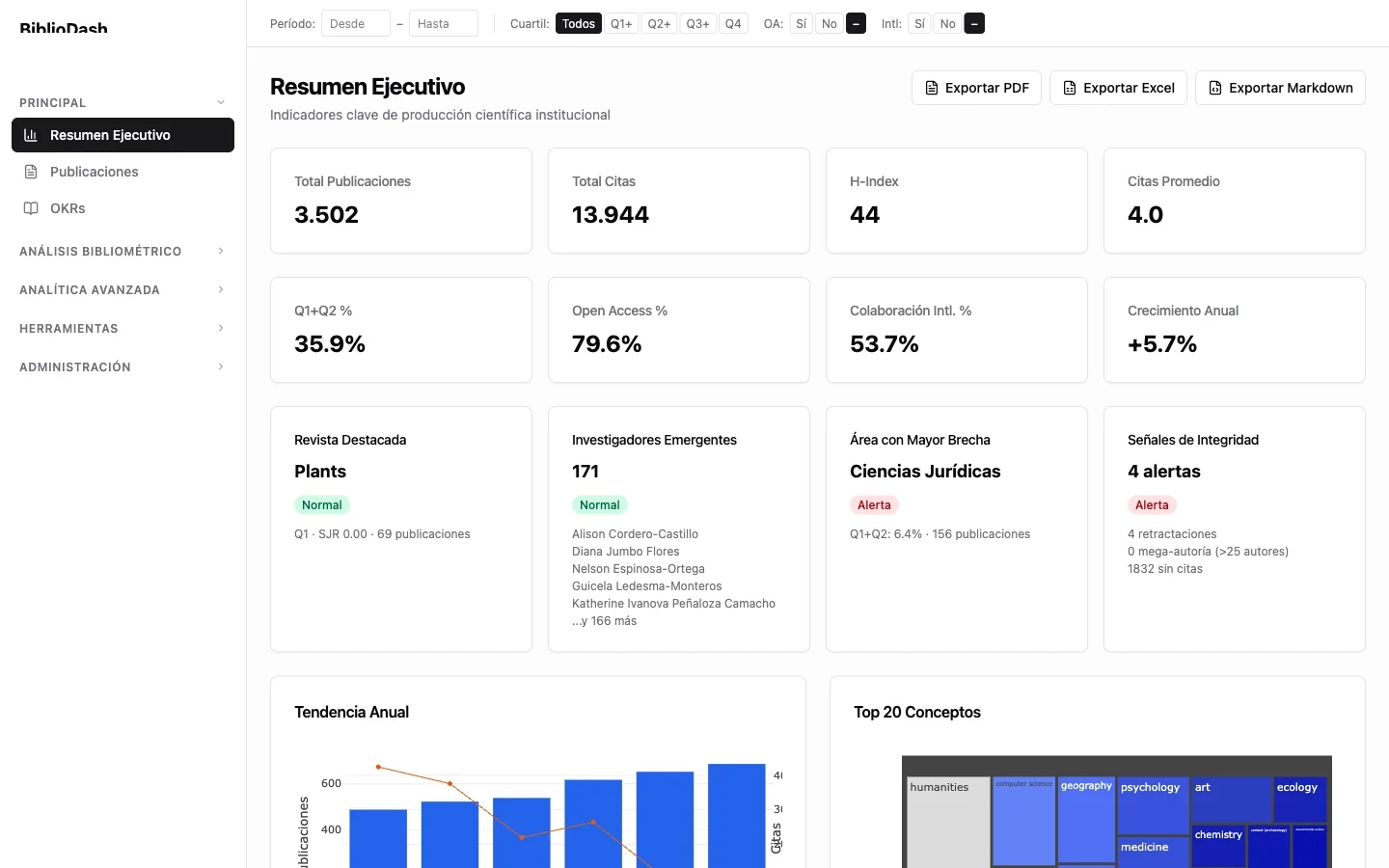
SaaS bibliometric analytics platform for universities, with interactive dashboards, institutional OKRs, and an AI assistant via MCP.
- Next.js
- AI / MCP
- Full-stack
- +1

Full-stack
ConsultaMédica
Medical management system for administering patients, records, and clinical visits.
- Full-stack
- Healthcare